top of page


All Categories

07:56
Police Called During Our Drone Mapping Mission | DJI Matrice 400
What happens when police respond to a report of a drone during a commercial mapping mission?
While we were mapping a wastewater treatment facility in Cumberland, Maryland, the Cumberland Police Department stopped by after receiving a report about our drone.
What could have been an interruption turned into a great real-world conversation about professional drone operations.
Al showed his FAA credentials, explained the commercial mapping mission, and talked with the officers about drone regulations, public-safety drone programs, aircraft awareness, and operating professional UAS equipment.
Then the conversation turned to our DJI Matrice 400.
In this episode of In the Field, you'll see:
🚔 A real police interaction during an active commercial drone mission
🚁 Our DJI Matrice 400 enterprise drone
🗺️ Commercial drone mapping at a wastewater treatment facility
🪪 FAA Part 107 credentials and professional preparedness
✈️ Aircraft awareness while operating near an airport
📷 Enterprise drone camera and mapping equipment
🔋 DJI Matrice 400 battery and operational features
👮 A conversation about law-enforcement and public-safety drone programs
🤝 Why communication and professionalism matter in the field
The DJI Matrice 400 is DJI's enterprise flagship platform and is designed for applications including large-scale mapping, engineering, construction, emergency response and infrastructure inspection.
One thing we've learned from working in the field: being prepared isn't only about the aircraft, batteries and flight plan.
When someone approaches your operation—whether it's law enforcement, a property owner or simply someone wondering what you're doing—professionalism matters.
Al's approach is simple:
Cooperate. Show respect. Tell the truth.
Chapters
00:00 Cumberland Police Arrive
00:11 Why the Drone Was Reported
00:25 Explaining Our Commercial Drone Operation
00:32 Showing FAA Credentials
00:50 Licensing & Insurance
01:07 Talking Public-Safety Drone Programs
01:38 Aircraft Awareness Near the Airport
02:03 Showing the Officer Our DJI Matrice 400
02:32 Matrice 400 & Mapping Camera Setup
02:52 Matrice 400 Safety & Avoidance Systems
03:05 Battery Life & Enterprise Capabilities
03:18 H30T Camera Capabilities
03:31 Wrapping Up with Cumberland Police
03:51 Hot-Swapping Matrice 400 Batteries
04:47 Mapping the Wastewater Treatment Facility
05:49 Handling Unexpected Interactions in the Field
06:04 Al's Experience with Law Enforcement
06:48 Three Rules for De-Escalating an Interaction
07:13 Why Professionalism Matters
Real Data. Actionable Insights.
We provide professional commercial drone data capture and aerial intelligence services for construction companies, engineers, surveyors, utilities, solar facilities, commercial properties, infrastructure teams and other organizations that need reliable aerial data.
Services include:
• LiDAR Scanning
• 2D & 3D Drone Mapping
• Construction Progress Monitoring
• Digital Twins
• Orthomosaic Mapping
• Thermal Inspections
• Solar Facility Inspections
• Infrastructure Inspections
• Utility & Telecom Inspections
• Roof & Asset Inspections
• Commercial Real Estate
• Facility & Property Intelligence
📞 Call or Text: 772-267-0780
🌐 Website: thatdroneguyusa.com
📧 Email: thatdroneguyusa@gmail.com
📺 YouTube: @ThatDroneGuyUSA
📍 Proudly Serving:
Maryland • West Virginia • Virginia • Pennsylvania • Ohio
🇺🇸 Available for Projects Nationwide
Projects within our established service areas are billed at standard rates. For projects beyond our core service area, travel, hotel and per diem expenses may apply. We provide transparent pricing up front.
FAA Part 107 Certified • OSHA 30 Certified • $1 Million Insured • Professional Enterprise Drone Fleet • Two-Pilot Team.

04:49
What Does “Socked In” Mean? Windsocks, Spins & a Piece of String
What Does “Socked In” Mean? Windsocks, Spins & a Piece of String
What does “socked in” mean in aviation? And what do windsocks, slips, skids, spins—and even a simple piece of string—have to do with flying?
In this episode, Al from That Drone Guy USA takes us beyond the drone and into some of the aviation knowledge behind the terminology. He explains what pilots mean when they say an airport is “socked in,” how windsocks help pilots understand wind conditions, and why coordinated flight matters.
From “step on the ball” to slips, skids, yaw, and aircraft spins, Al breaks down some of the fundamentals of flight in a way that’s easy to understand. He also shares some of his own aviation experiences and explains how even something as simple as a piece of string can give a pilot valuable information about airflow.
At That Drone Guy USA, aviation is about much more than simply putting a drone in the air. Understanding flight, weather, aircraft performance, and the environment we’re operating in is part of doing the job safely and professionally.
ABOUT THAT DRONE GUY USA
That Drone Guy USA is a husband-and-wife team of FAA Part 107 licensed pilots specializing in aerial data collection and reality capture, helping clients turn what’s happening on the ground into actionable information.
Our services include:
• **LiDAR Scanning & Data Collection**
• **2D Mapping & 3D Modeling**
• **Photogrammetry & Geospatial Data**
• **Construction Progress Monitoring**
• **Solar Construction & Facility Solutions**
• **Thermal & Multispectral Imaging**
• **Facility Intelligence & Digital Twins**
• **Property & Raw Land Intelligence**
• **Utility & Infrastructure Data Collection**
• **Commercial Real Estate Documentation**
• **Multi-Site & Asset Documentation**
• **Matterport & 360° Documentation**
• **Aerial Photography & Video**
We are FAA Part 107 licensed and compliant, OSHA 30 certified, and carry $1 million in liability insurance.We serve clients throughout Maryland, West Virginia, Virginia, Pennsylvania, and Ohio, with nationwide service available upon request.
Your Project. Our Passion.
Aerial Data. Actionable Insights.
📞 772-267-0780
🌐 www.thatdroneguyusa.com
▶️ **YouTube:** @ThatDroneGuyUSA
📘 **Facebook:** That Drone Guy USA
📸 **Instagram:** That Drone Guy USA
Have an aviation question you’d like Al to explain in a future video? Drop it in the comments below!
10:43
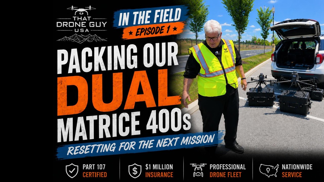
How We Pack Two DJI Matrice 400 RTKs | In The Field Ep. 1
Ever wonder what it takes to deploy two enterprise drones for a day in the field?
In this first episode of our Behind the Build series, Al walks you through how we organize, protect, and transport our two DJI Matrice 400 RTK drones before every mission.
From batteries and controllers to accessories and storage, every piece of equipment has a place. Good organization isn't just convenient—it helps us work efficiently and protects the investment we've made in delivering dependable aerial data to our clients.
Whether we're supporting construction projects, engineering firms, public safety agencies, utility inspections, or commercial property owners, preparation starts long before the drones leave the ground.
CHAPTERS
00:00 Mission Overview – Walmart Distribution Center
01:05 Mapping a Massive Automated Facility
02:18 Flying Dual DJI Matrice 400 RTKs
03:30 RTK Setup & Why We Still Use It
04:42 Working in Controlled Airspace
06:08 DJI P1 Camera & Flight Settings
08:10 Breaking Down the First Drone
09:35 Why We Fly Two Drones
11:10 Organizing Enterprise Drone Equipment
12:40 Fleet Management & Labeling
14:18 Growing to a 21-Drone Fleet
15:55 Planning the Next Mission
17:45 Packing the Mobile Command Vehicle
19:10 Ready for the Next Flight
If you enjoy seeing the real side of commercial drone operations, subscribe for more behind-the-scenes videos from That Drone Guy USA.
Nationwide Service available
Serving Maryland, West Virginia, Virginia, Pennsylvania, Ohio, and beyond.
#DJIMatrice400 #CommercialDrone #DroneWorkflow #EnterpriseDrone #ThatDroneGuyUSA
17:16
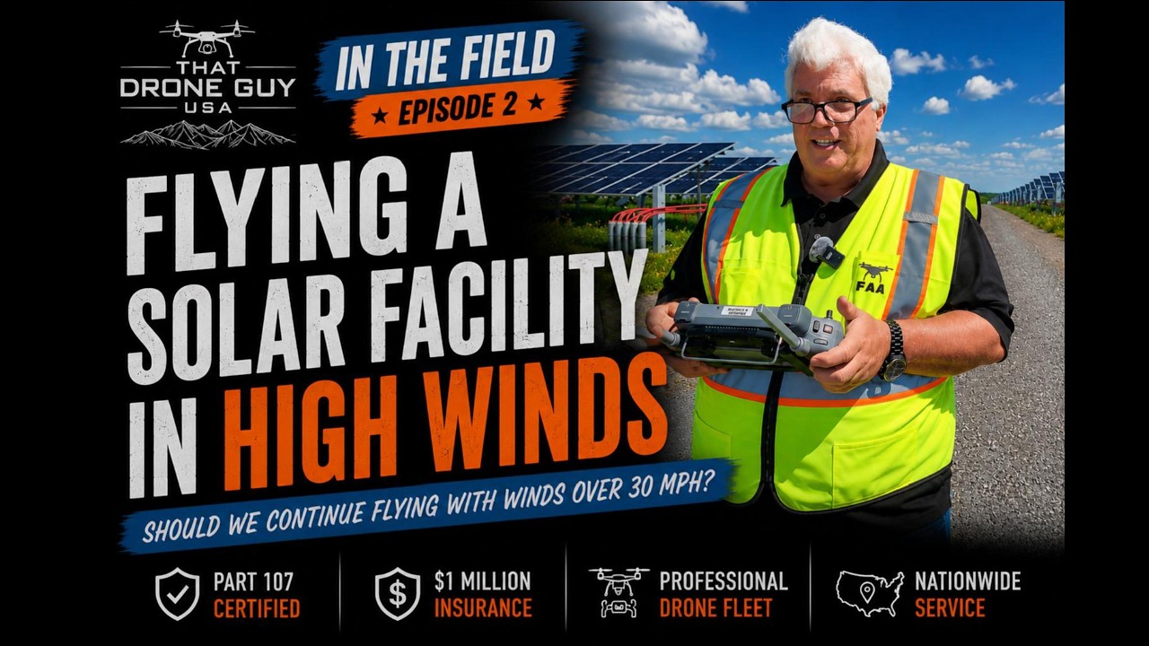
Flying a Solar Facility in High Winds | In the Field Ep. 2
Not every drone mission goes according to plan—and that's exactly what happened on this solar facility inspection.
In Episode 2 of our *In the Field* series, we head out with the DJI Matrice 400 RTK to inspect a solar facility. Strong winds quickly become the biggest challenge, forcing us to make real-time decisions about flight safety, data collection, and when it's time to call it a day.
Commercial drone operations aren't about taking unnecessary risks. Sometimes the most professional decision is knowing when conditions aren't right to continue.
Follow along as we show what real drone operations look like, including the planning, flying, decision-making, and lessons learned in the field.
CHAPTERS:
00:00 Introduction & Mission Overview
00:45 Long-Range Mapping with the DJI Matrice 400 RTK
02:08 Beginning the Mapping Mission
03:27 Monitoring High Wind Conditions
05:03 Flying in 35+ MPH Winds
06:09 Camera Settings for Mapping Success
08:18 Shutter Speed & Image Quality Explained
09:22 High Wind Warnings Increase
10:23 Aborting the Mission for Safety
11:08 Return to Home & Recovery
13:18 Choosing the Safest Flight Path Home
15:11 Why We'll Return Another Day
16:21 Lessons Learned & Final Thoughts
That Drone Guy USA provides commercial drone services including:
• Solar Facility Inspections
• Thermal Imaging
• LiDAR
• Construction Progress
• Infrastructure Inspections
• Public Safety Support
• Digital Twins
• 3D Mapping
Phone:304-241-2215
Website:www.thatdroneguyusa.com
#DJIMatrice400 #SolarFacility #CommercialDrone #DroneInspection #DronePilot

bottom of page